


The organisation has over-achieved on its decade-spanning goals, setting a new precedent for wildlife and nature restoration in Britain.
Set in 2015, the National Trust’s 10-year conservation targets included the creation or recovery of 25,000 hectares of habitat – 100 square miles, or an area twice the size of the City of Manchester.
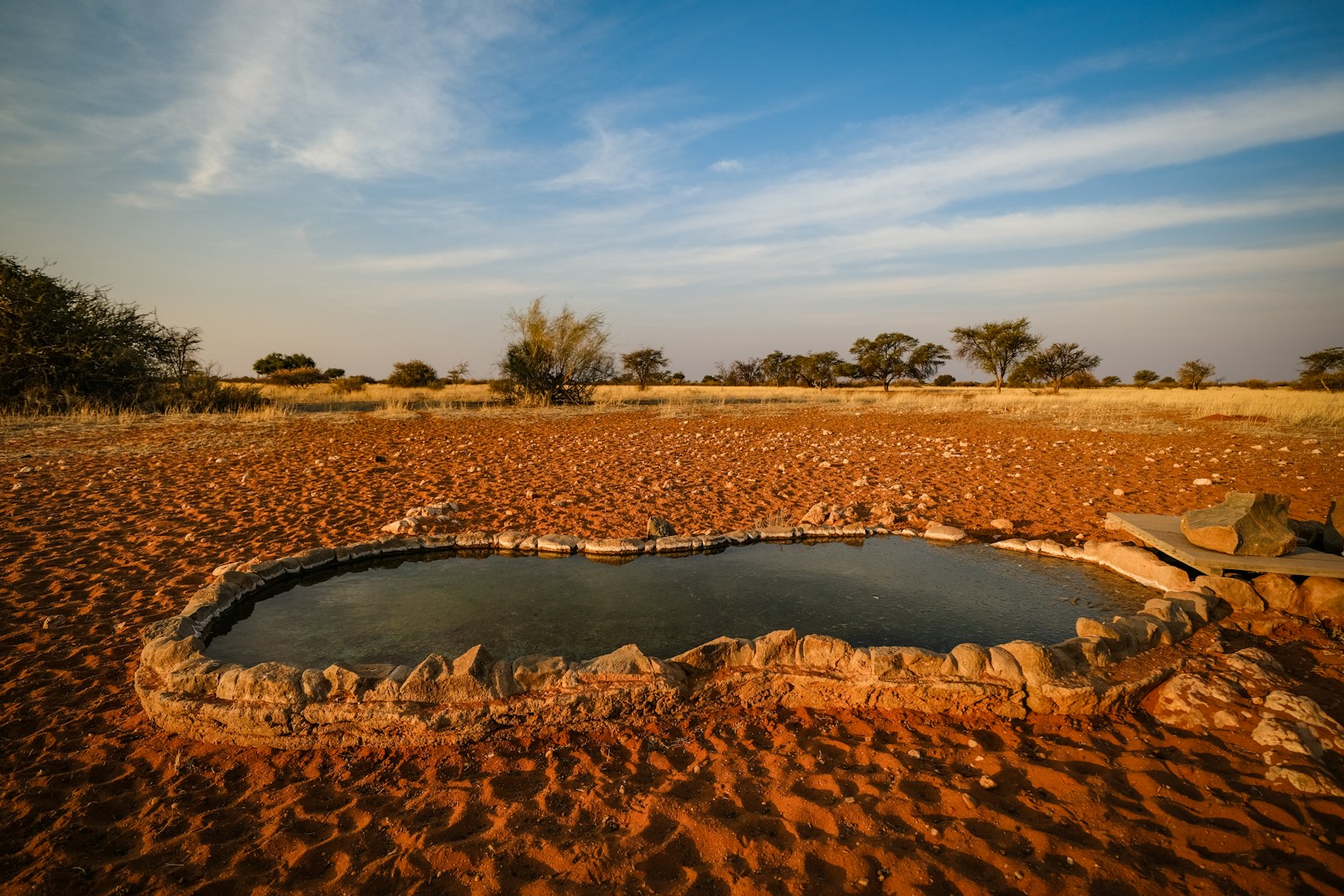
According to a new report, the results of ongoing efforts have now exceeded the requirement across the organisation’s 500 historic properties, gardens and nature reserves, and 900 miles of coastline. Over the past decade, peatlands, meadows, wetlands, woodlands and saltmarsh has been developed, often adding to existing habitats. More than 1,000 square miles of landholdings have been positively impacted.
‘Our focus on restoring our most important habitats to help our precious wildlife is not only contributing towards national conservation targets but is also a critical response to the challenge of climate change,’ explained Huw Davies, Head of Data at the National Trust. “Digital transformation is playing a vital role in supporting this mission, with geospatial tools introducing new workflows, helping to understand what we need to do where and monitor improvements over time.’
‘The power of geography helped to reach our significant 10-year conservation milestone,’ he continued. ‘Taking action to protect species, conserve the natural landscape and bring nature back to life can only be driven by robust evidence. GIS gives us the insight we needed to implement change and understand where to plant more trees, flood salt marshes or reinstate rivers and qualified that we had exceeded the target ahead of schedule.’
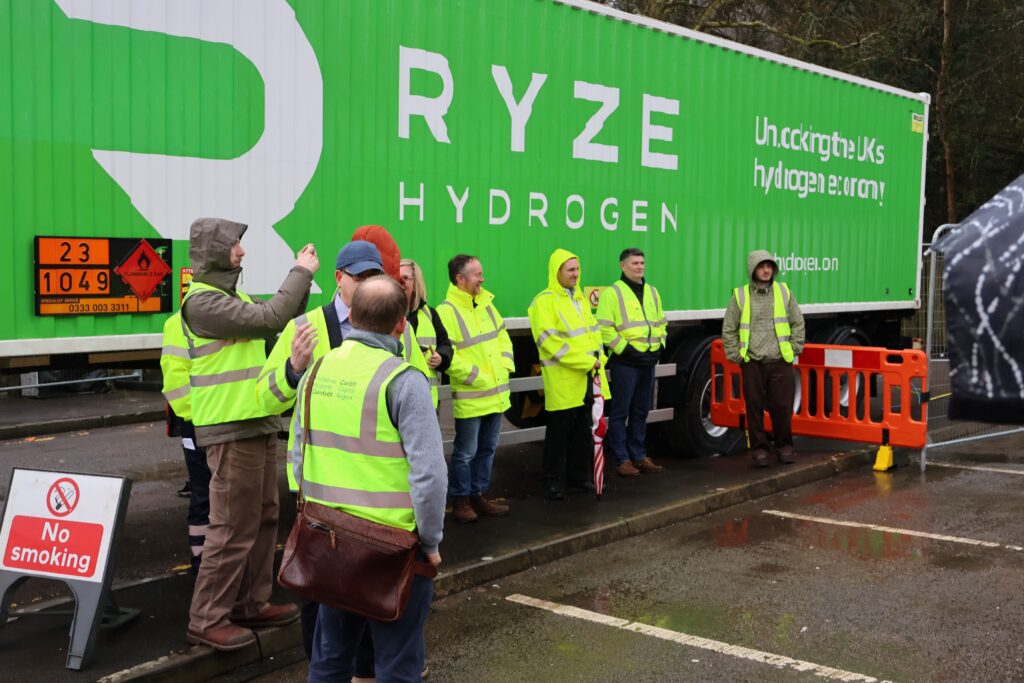
Much of the effort relied upon GIS technology, which the National Trust began using in 2014, at which point systems were usually accessed with individual desktop licensing. Today, the charity – Europe’s largest involved in conservation – has a full enterprise platform used by 2,500 staff, volunteers and partners, switching to Esri’s ArcGIS Online SaaS in 2022. This allows new aspects to be deployed, including mobile apps and dashboards, streamlining workflow.
‘Any GIS we used had to be rapidly scalable, easily deployable and integrate effortlessly with other systems so data could be shared internally and workforce productivity could be improved,’ said Ian Dawes, GIS Product Manager at National Trust. ‘Adopting a SaaS approach has meant we’ve been able to grow the user base of the nature restoration apps to around 500 staff without increasing costs. A few years ago, rangers would not have used a tablet but today they realise collecting data can help in many ways.’
Spatial analysis was conducted across multiple data layers, revealing where changes needed to be made, were possible and could deliver the largest impact overall. Rangers and staff based at properties were equipped with mobile applications, allowing them to capture and monitor planned works to ensure effectiveness.
Successful schemes to date include 12,000 acres of blanket bog restoration in the Peak District, contributing to carbon sequestration. This involved planting roughly 1million sphagnum moss plants, and introducing 10,000 dams to slow water flow. Dragonflies, frogs, lizards, and golden plover have all benefited as a result, while flood protection and mitigation has also improved.
A new 10 year strategy has been set by the National Trust, dubbed People and Nature Thriving. This comprises three core goals – nature restoration, equity of access to nature, beauty and history, and catalysing individuals to take action to help the cause. GIS will continue to support the new strategy, with investment in data science set to boost spatial analysis capabilities and future modelling.
Image: National Trust
More biodiversity, climate change, nature and sustainability:
Better, brighter, greener: MMT is the future of digital screens
Growing pains: Downing Street unlikely to meet biodiversity commitments