

A new project, run by Ordnance Survey (OS) and CGI, will use observations from space and location data to tackle sewage spills.
Run in collaboration with the UNFCCC, preliminary research shows that satellite data can identify organic matter from sewage spills in waterways and track the downstream impact.
The Sustainability Exploration Environmental Data Science (SEEDS) programme could be used to establish an early warning system, allowing UK water bodies to see where spills are likely, so they can take action to reduce risk.
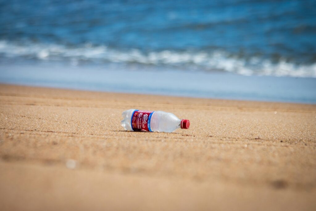
Sewage spills have become a growing concern in the UK, as the Environment Agency (EA) reported 700,000 raw sewage discharges into seas and rivers over 2020 and 2021 – the equivalent of almost six million hours.
Sewage contains bacteria and viruses which can contaminate water, affect wildlife and harm people’s health, while the climate crisis leading to heavier rainfall and storms which result in sewage overflows.
Donna Lyndsay, Strategic Market Lead for Sustainability at OS, said: ‘It has been said that only 14% of UK rivers meet good environmental standards. Although we are conducting this research project over the UK, we would like to have the possibility of expanding the project internationally. The increasing availability of accurate and faster data sources, such as Earth observation and location data, combined with the expertise of our data scientists and research and innovation team, unlocks the potential for predictive analysis and demonstrates the value of geospatial data in solving some of the world’s biggest challenges.’
As part of the project, satellite company Planet is providing detailed satellite imagery, while OS can use location data to identify land cover types, terrain, height, densely populated areas and building cover.
The organisation can also predict where sewage outflows are likely after increased rainfall, with urban areas more likely to see spills due to paved or concrete areas absorbing less water.
Data will be combined with historical Met Office records to create a dataset showing how much rain was release over each outflow site, while location data can predict how much rain can be absorbed by land in each area.
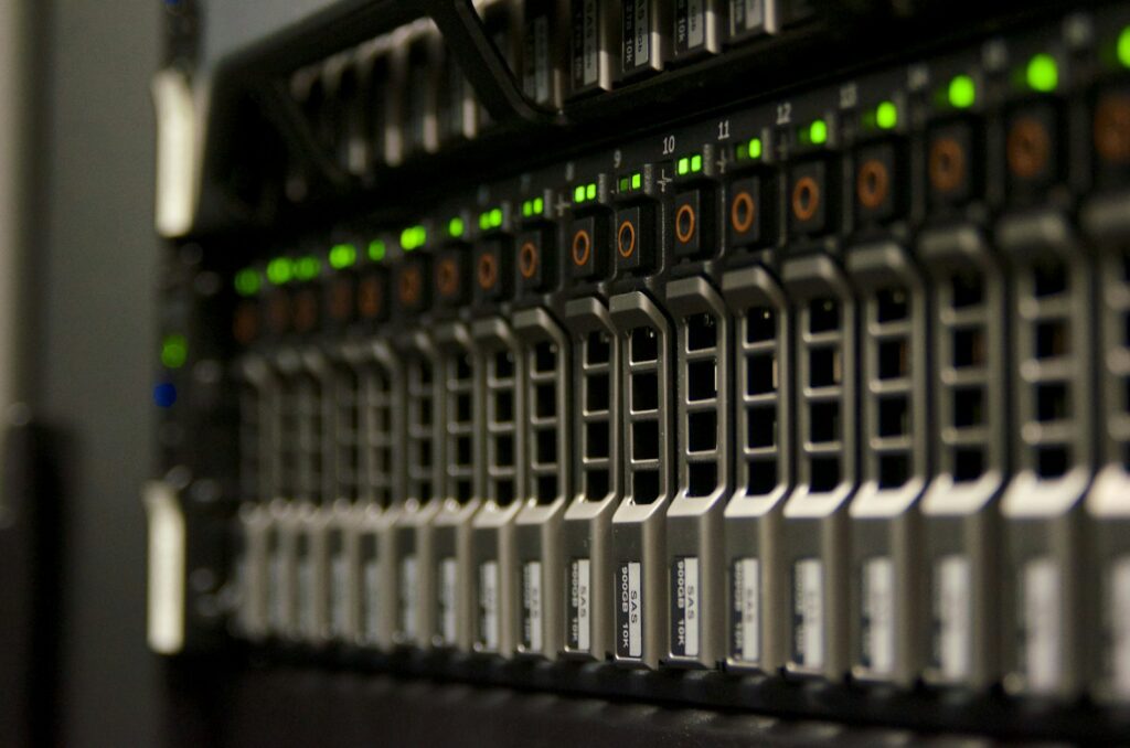
More than 90 AI models have been created through the research programme to predict where sewage spills will occur, with an accuracy of 91.5%.
It’s thought these could be used by government, local authorities and water companies to identify problem areas, where to increase storage capacity and to find solutions on how to divert rain back to natural land.
OS is also using AI to target investment for infrastructure, such as toilets and clean drinking water, in developing countries, particularly focusing on Lusaka in Zambia.
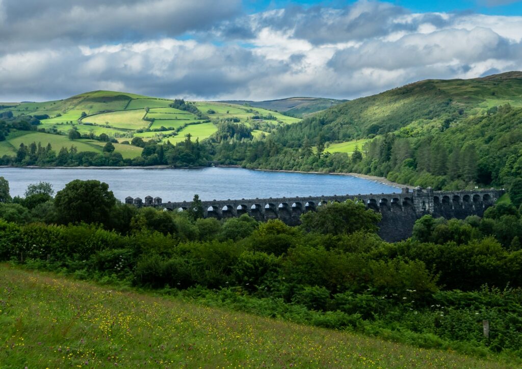
Photo provided by Planet Labs PBC