


The Office for National Statistics (ONS) has launched a new tool to enable countries around the world keep track of changes in the surface water supply.
The tool takes processed imagery from the Global Surface Water Explorer and uses a number of processes to transform this into tables and maps which can be used by governments to create clear measurements to show changes over time.
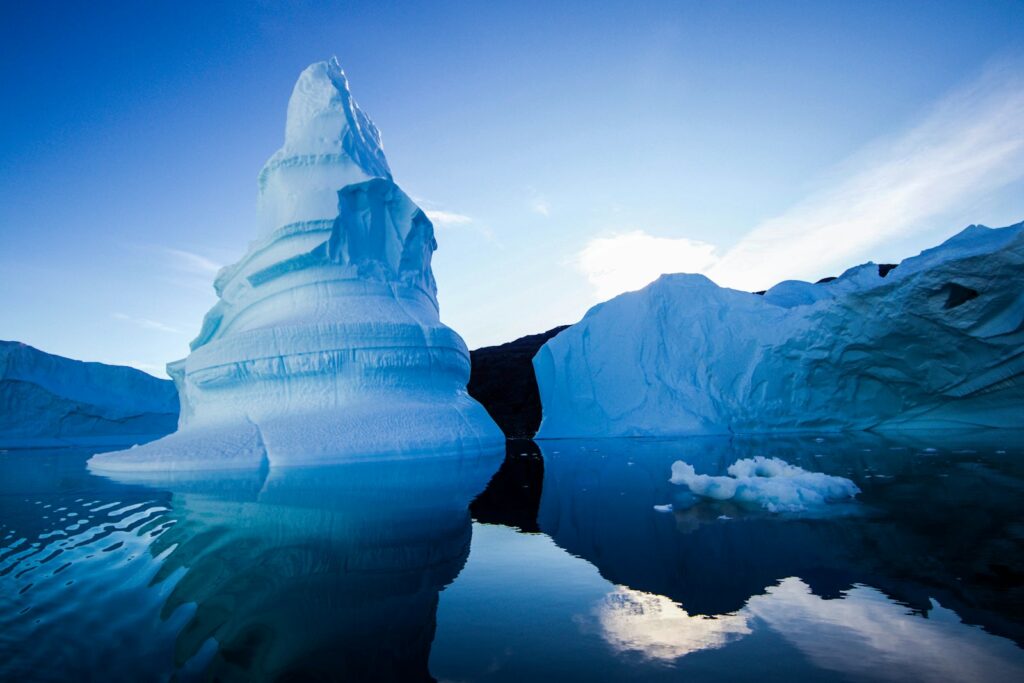
The new tool has the potential to help countries monitor and measure changes to large scale water ecosystems over time, which could be caused by impacts from human interactions with the environment like climate change.
Early analysis using the tool on the UK has shown that 50% of the UK’s permanent surface inland water is in Scotland.
Between 1984 and 2019 the data has shown that the overall permeant water supply seems to have stayed relatively stable.
Joanne Evans, head of international collaboration for sustainable development goals at the ONS, said: ‘With this tool we are finally able to give a measure to track changes to precious water sources.
‘The important thing about this tool is that, because it uses a publicly available global data source, countries around the world, including those in the developing world who are most likely to be negatively affected by climate change, can also use it for free.
‘At the ONS we have an important duty to report data on behalf of the UK for the United Nations’ SDGs to help provide comparable measures for the country’s progress on a range of environmental and sustainability issues. This tool helps us to get closer to ensuring we are giving a full picture of progress towards a more sustainable future.’
Photo Credit – Pixabay