

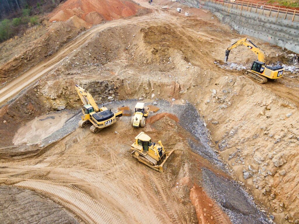


A new project will use satellite imagery and digital mapping to inform air quality, asset management, ecology and heat monitoring solutions.
Four earth intelligence (4EI) and Britain’s mapping agency Ordnance Survey (OS) have partnered to combine satellite imagery with accurate digital mapping.
By using OS data, which range from simple administrative boundary lines to the complex OS MasterMap that records every fixed feature in themed layers, 4EI will develop a suite of solutions that blend space and traditional mapping for smart monitoring and analysis.
During the COVID-19 crisis, 4EI created the free Heat Hazard Postcode which is already being used to plan the provision of urban green spaces, to assess vulnerable populations and to inform the climate change strategy.
David Critchley, chief executive officer of 4 Earth Intelligence said: ‘With support from Ordnance Survey we were able to offer national organisations and multi-agency partnerships, currently involved in the coronavirus response, a free at the point of use resource that was familiar and easy to integrate with other geospatial information and workflows.
‘We want to build on this initial project so that earth observation data becomes a day-to-day source of intelligence for organisations across the UK that are already delivering frontline services and developing long term strategies.’
Stefan Wells, head of partners at Ordnance Survey added: ‘It is this coming together of data, expertise and innovation that we aim to foster through our Licensed Partner Programme.
‘We are delighted to welcome 4 Earth Intelligence as our latest partner and we are excited to see the positive impacts which can be delivered by connecting earth observation data with trusted and authoritative location data from OS.’