

March 2nd 2023
New analysis puts UK tree cover at just over 12%
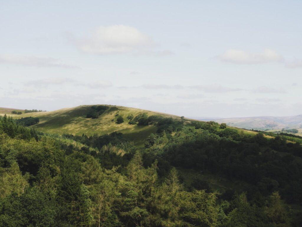
New analysis done with the latest technology has revealed tree cover in the UK to be at just 12.8%, far below levels of tree cover in the EU.
Friends of the Earth (FOE) teamed up with mapping experts Terra Sulis to find tree cover data and unlike previous research, which only accounted for woodlands and clusters of trees, identified lone trees and street trees for the first time.
Results have been transformed into an interactive map that’s searchable by postcode and data shows 12.8% of tree cover in England, with 10% of this attributed to woodland. The EU average for woodland is around 38%.
Just under half (43%) of neighbourhoods in England also have less than 10% tree canopy cover, while a huge 84% have less than 20% coverage.
FOE has said the government’s existing tree planting goals are too low and would see tree cover rise by just 16.5% by 2050 which is significantly lower than EU averages.
Mike Childs, head of science, policy and research at Friends of the Earth, said: ‘The UK government should be aiming to double tree cover in England by 2050 to ensure that people, no matter where they live or what their income, can experience the mental and physical health benefits that trees bring. Our new mapping identifies the areas that are missing out most on these life-enhancing protections, and where new tree planting should be prioritised.
‘Current targets for tree planting are woefully inadequate and overlook the devastating impact that timber and wood imports from countries such as Brazil, China and Russia wreak on nature globally.
‘We need many more trees for farming, urban cooling and absorbing harmful carbon emissions. There’s more than enough viable land to increase cover two-fold without compromising quality agricultural land or protected habitats. The government must get behind a far more ambitious plan to boost tree numbers and adopt this as an official target.’
The analysis uncovered a wide disparity between areas with the lowest tree cover and the highest – South Holland in Lincolnshire has the lowest tree cover in the UK at 2.2%, while Surrey Heath in Surrey has the highest at 36.1%.
The most disadvantaged neighbourhoods which rank the lowest on the Index of Multiple Deprivation were also found to have far lower amounts of trees than wealthier neighbourhoods.
Photo by Jacob Amson